On 5 May 2020, the Satellite Applications Catapult hosted the “Water in Mining” webinar. The event focused on the topic of water management and monitoring, highlighting the challenges the mining industry is facing, as well as showcasing space-enabled solutions. Experts from both the mining and space industry covered three main focus areas in which water resources play a pivotal role.
During the day, we captured the discussion on our digital mural. This blog offers a summary of the topics presented and the opportunities highlighted.
ENVIRONMENT: PLANNING AND SUSTAINABILITY
Julia Dent from WSP presented the context of water in the mining industry. Mining uses around 2% of the world water supply, and the amount of water required by a mine varies depending on its size, the mineral extracted, the extraction process. Global water demand is increasing and quality is decreasing, making it even more important for mining companies to reduce their water footprint and diminish their demand from local water supplies.
It is key for mining companies to identify pollution sources, pathways and receptors: a sustainable water supply ensures that receptors – aquatic life, terrestrial wildlife, vegetation and humans – are not impacted by pollution of any kind. This is a model valid across the whole mining lifecycle, from baseline to Environmental Impact Assessment to stabilisation and monitoring post-closure. Satellite data can provide plenty of information in this context: from monitoring water levels in reservoirs to understanding the causes of sedimentation in rivers, to monitoring changes in the vegetation health.
Andean bofedales are an example of how natural features can be used as “early detection systems”, as presented by Hugo Lepage of Cambridge University. These wetland ecosystems act as water storage and supply, filtration, flood and erosion control, carbon storage and grazing lands. Their unique qualities make them natural proxies for the identification of pollution in water sources. Using satellite and high-resolution drone imagery across large portions of remote land, it is possible to analyse the overall health of bofedales and assess the impact that mining is having on the surrounding ecosystem. Critical areas can then be investigated on the ground through water chemistry and sediment analysis, to validate the remote sensing findings.
OPERATIONS: EFFICIENCY CHALLENGES AND OPPORTUNITIES
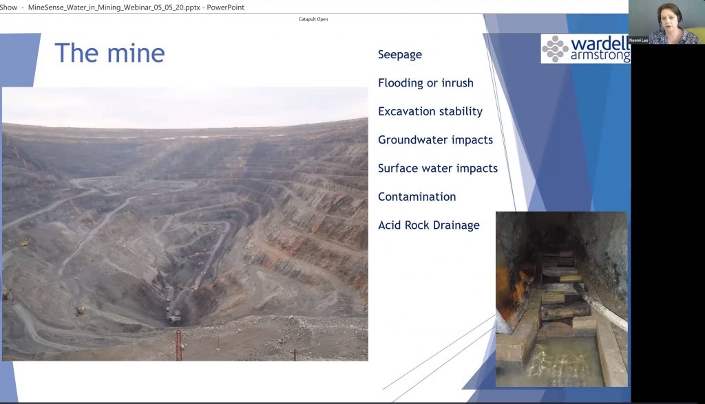
Naomi Lee from Wardell Armstrong presented on mine site water imbalance and implications on operational efficiency. There are many factors that contribute to water imbalance, such as mine type, climate, topography, natural water features and tailings storage facilities. The balance varies through the year and the life of mine, with a bigger demand found in the earlier years, and it can be negative, positive or ideally neutral.
Water is vital for operations such as processing, providing potable water to the workforce, helping control the stability of the mine and the tailings storage facilities. Water imbalance can impact mining operations in a variety of ways. Ground and surface water inflow into open pit or underground can impact slope stability or acid rock drainage means more water needs to be pumped and treated, water within the pit can become contaminated with diesel, oil or other by-products of mining activity.
Tailings storage facilities are usually the largest receptors of water on the mining site, and they are heavily influenced by climate variables such as rain, run-off, snow, snow melt and evaporation. Consequently, water imbalance has a major impact on tailings storage facilities’ failures, affecting stability and capacity optimisation.
Paul Drury from flood specialist Ambiental, provided an overview on flood modelling data products and how they can serve the needs of the mining industry. Satellite data including topography, land use, rainfall accumulation and flood detections can contribute to the accuracy of flood models and support climate change adaption efforts from mining companies.
Flood modelling can showcase flood depths and extent predictions for fluvial, pluvial and tidal hazard for a variety of future scenarios, as well as support dam failure scenario modelling. Flood forecasting and impact analysis can provide mining companies with forecast of the start, duration and intensity of flooding, as well as identifying risks to infrastructure, people and financial loss estimation. These data products can support the mining industry with better risk awareness for exploration, operations and monitoring of closed sites, understand past flood events and forecasted flood events for better planning and consider long term impacts of climate change.
COMMUNITY: ENGAGEMENTS AND SOCIAL RISK ISSUES
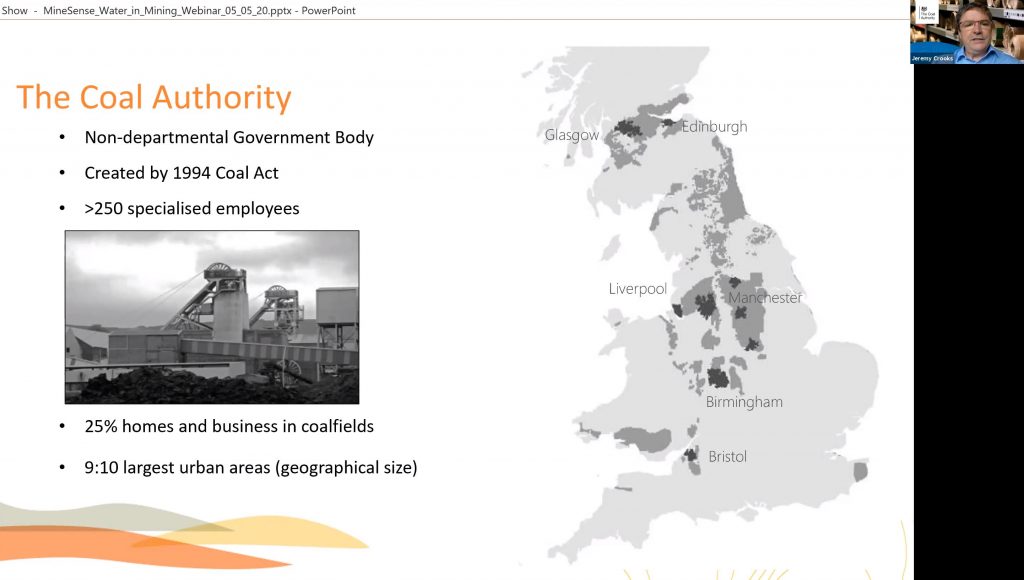
Jeremy Crooks from the Coal Authority presented on a series of initiatives looking to address coal industry legacy liabilities, highlighting the effects on communities once employed in this industry and then impacted by its demise. One opportunity includes treating rising mine water: treated water can be reutilised for a variety of applications, and has the potential of supporting UK water resilience in the long-term. Satellite data can support by monitoring the surface to understand the impact of these activities on the ground.
Supporting surface water entry into mines during flood events can reduce the risk for surrounding communities and infrastructure, with satellite data providing additional intelligence on where these events are taking place. Leveraging mines’ energy potential offers the opportunity to use these assets as a way to enable surrounding communities to be more energy resilient. The mine, as a geothermal source of heating, can offer a stable source of heat, with sustainable pricing and a focus on clean growth.
Steve Spittle from the Satellite Applications Catapult showcased examples on how satellites can help identify and monitor sources of pollution, and how to then distribute this information to all the relevant stakeholders, including local communities. Satellite data is seen as an independent source, and in environments which lack trust between stakeholders, it can provide a clear baselining role. Satellite imagery in itself is a powerful media, as it can shed a light on complex analyses in a visual and immediate way.
The global coverage and the frequency of revisit make satellite data a relevant source for mining sites, which are also global and dynamic. In the context of water resources and their relationship with communities, there are many parameters such as soil moisture, vegetation health, water turbidity that can be monitored effectively with satellites.
Applying machine learning techniques to satellite imagery can help identify the presence of local communities, as well as identify wells, irrigation, water resources and other critical infrastructure. This data can be also shown within immersive environments, combining imagery with 3D technologies and virtual reality, to create new narratives on the effects of mining on the surrounding communities.
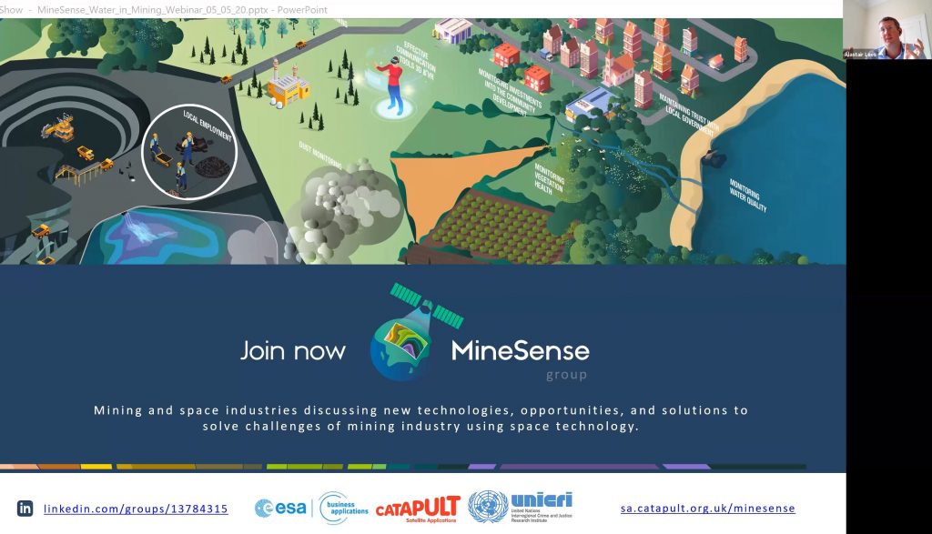
This webinar is part of MineSense’s series of engagements, aiming to share knowledge and encourage discussion on the applications of space technology for the mining industry.
You can join the discussion and get notified about upcoming events on the MineSense group HERE.