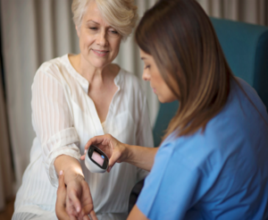
Advanced Remote GP Appointments using Satellite Connectivity
Our Business Manager for Health and Wellbeing, John Vesey, explains how an idea developed by two GPs is transforming the way practices are delivering health...
Our Business Manager for Health and Wellbeing, John Vesey, explains how an idea developed by two GPs is transforming the way practices are delivering health...
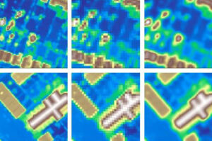
Catapult co-author: Stephen Spittle Abstract: The spatial resolution of a Digital Elevation Model (DEM) plays a crucial role in many practical remote sensing applications. However,...

What exactly is a 5G connection? And are they all the same? Our Director of Ubiquitous Connectivity and 5G Step-Out Centre Manager, Kieran Arnold, explains…...
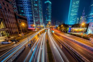
Background Since June 2018 it has been mandatory in Europe for all new types of cars and light commercial vehicles to be fitted with eCall...

The Satellite Applications Catapult has been awarded £850,000 to deliver 5G and satellite data expertise across all areas of a new 5G connectivity project in...
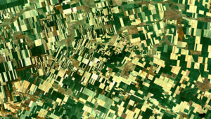
In November 2019 the Satellite Applications Catapult hosted a ‘Space-enabled Agriculture’ event, on behalf of the Digital Agri-Food Special Interest Group. The objective of the...
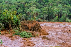
The Mining and Tailings Safety Initiative, a group that has over US $14 trillion in assets under management and is co-led by the Church of...
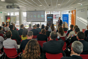
On 28 November, the Satellite Applications Catapult, European Space Agency, and United Nations Crime Institute (UNICRI) hosted a workshop to discover how space-enabled applications could...
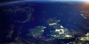
In response to the UK Government’s announcement on investment in science, research and innovation in the UK, and the upcoming Place Strategy for UK research...
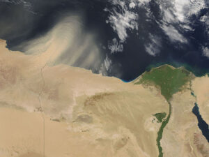
A new centre will enable 50 fully-funded PhD researchers to harness satellite data to tackle global environmental challenges. The Centre for Satellite Data in Environmental...
On 16 December members of our Extractive Industries team visited Norway to attend a workshop at the GRID-Arendal office. We were there to continue our...