case study
Powering Scalable Environmental Intelligence through Satellite Integration
Pemberton and Satellite Applications Catapult collaborate to enhance biodiversity monitoring technology
Introducing Pemberton: A Nature-Driven Tech Start-Up
Pemberton is a nature-driven start-up harnessing data to solve global environmental challenges and deliver sustainable solutions. By bringing systems thinking and diverse perspectives to environmental monitoring, Pemberton uses advanced data processing to scale the monitoring, reporting, and verification (MRV) of natural assets. Its platform integrates observations from phones, drones, and satellites to deliver high-frequency, high-resolution insights on habitats and biodiversity. These tools address the UK’s shortfall of 10,000 ecologists, helping insurers manage nature-related risks, supporting green finance projects in measuring ROI, and fostering collaboration for a more sustainable future.

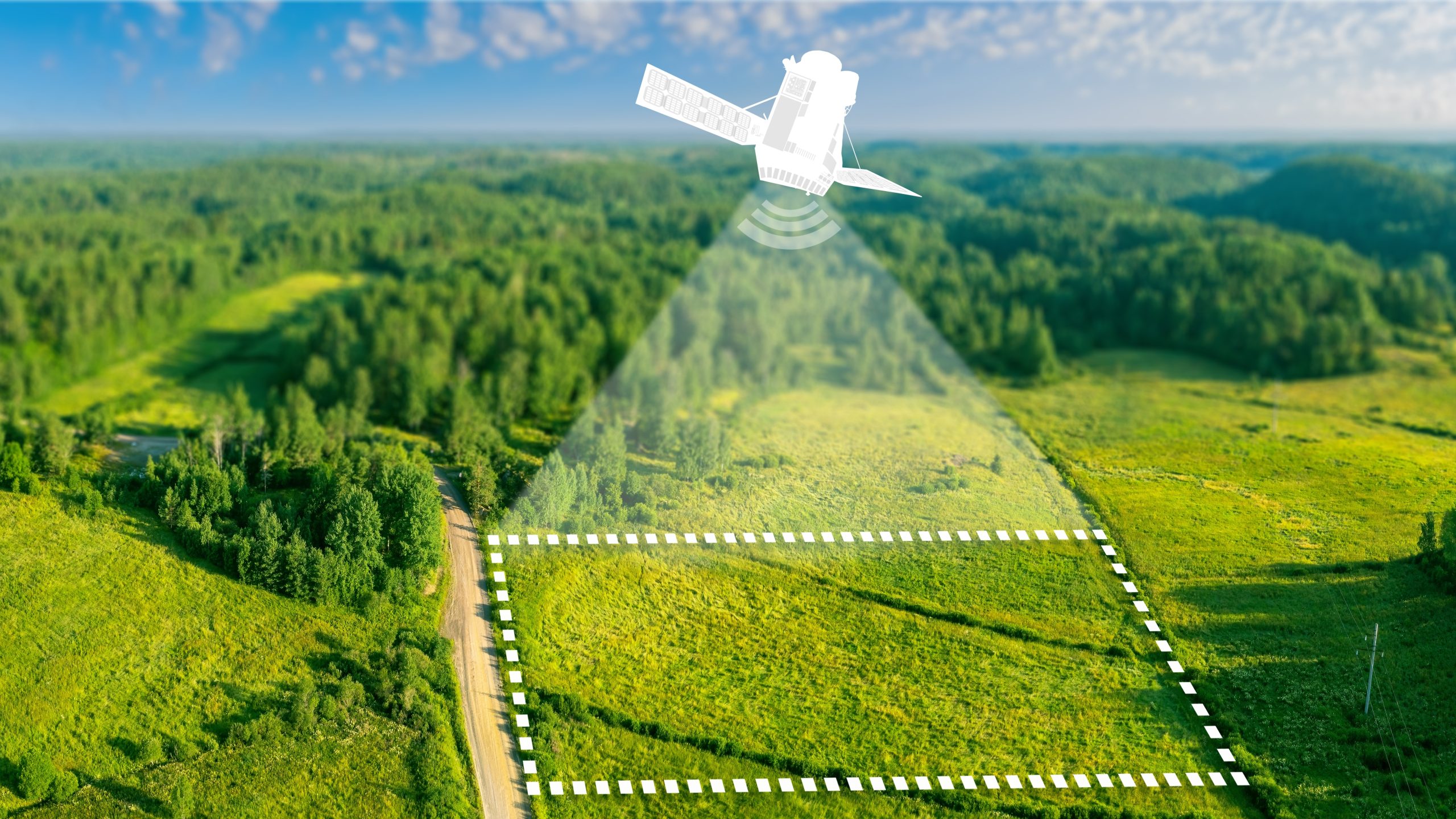
The Challenge: Simplifying Satellite Data Access for Non-Technical Users
Pemberton’s LogBook platform brings together data from phones, drones, and satellites to monitor biodiversity. Following successful factory acceptance testing with the European Space Agency as part of a near €1 million biodiversity metrics project, the team embarked on pilot testing. To support this, Pemberton sought assistance from Satellite Applications Catapult to build integration systems that would connect their users with leading satellite constellations. The challenge was to develop an efficient and user-friendly process enabling non-technical users to acquire high-quality satellite imagery for their specific areas—simply and quickly.
Tailored Support: Developing a Smart Satellite Integration System
Through its Space Commercialisation Engine (SCE) service, Satellite Applications Catapult collaborated with Pemberton to deliver a prototype for the LogBook platform, streamlining satellite data retrieval workflows. The solution reads JSON configuration files and dynamically selects API modules based on parameters such as data frequency, Area of Interest (AOI), optical data requirements, cloud cover, and image processing levels. The system supports both Sentinel and commercial datasets, enabling flexible, high-resolution queries. By automating API selection and parameterisation, the prototype reduced manual configuration steps and accelerated the product development cycle. Its modular design allows for easy integration of additional data sources, aligning with modern geospatial analysis practices.
Impact and Results: From MVP to Scalable Environmental Monitoring
With support from Satellite Applications Catapult, bespoke APIs were developed to seamlessly integrate the LogBook platform with leading satellite data providers, including ESA Sentinel, Planet, and ICEYE. This integration has been pivotal in advancing Pemberton’s platform beyond its Minimum Viable Product (MVP) stage, enabling the incorporation of high-resolution, high-frequency satellite imagery to validate biodiversity metrics at scale.
As a result, Pemberton now delivers even greater accuracy, reliability, and scalability in its environmental monitoring solutions—enhancing its value proposition for insurance and finance sector clients seeking to assess nature-related risks and quantify returns on nature-based investments.
Satellite Applications Catapult’s support came at a pivotal moment in our growth. Their expertise has supercharged the scalability of our technology, enabling us to drive even greater environmental and social impact as we expand. - Adam Albin, R&D Manager at Pemberton AI Ltd
More case studies

Advancing Satcom Innovation with Sofant Technologies at the Satellite Applications Catapult
Introducing Sofant and Their Miniaturised Ka-Band Satcom Terminals Sofant Technologies, based in Edinburgh, is developing cutting-edge Ka-band satcom terminals designed…

Mapping the UK’s Academic Capabilities within the Space Sector
Connecting Academia with Industry The Academic Expertise Portal (AEP) is a digital platform designed to map the UK’s academic capabilities…