Energeo
Marketing

Route to Impact:
The Catapult is supporting Energeo’s initiative to deploy connected vehicle infrastructure in Local Authorities nationwide to create new value chains.
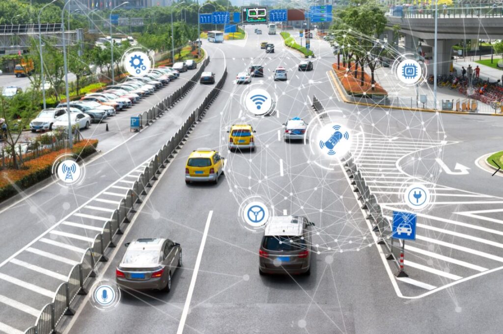
The rise in electric vehicle (EV) utilisation has motivated several leading Councils to invest in key areas such as, smart road networks, smart grids for power, and the built environment. All of which are essential for future smart-city planning and decision making.
Energeo create unique data – including driveway probability, footway widths, on-street vehicle classification and renewable energy potential – for Towns and Cities that need to reduce emissions, generate clean energy, improve air quality and deploy EV infrastructure. By digitally studying the built environment, using sources such as satellite imagery, Energeo automatically identify the most beneficial locations for low carbon technologies such as Solar PV and EV chargepoints. Sustaining and accelerating growth of Low Emission Vehicles is a critical element of Public Sector Climate Emergency and Energy System planning.
Outcomes:
Ian Dee – CEO, Energeo
Solution:
Bournemouth Borough Council benefitted from Energeo’s satellite derived intelligence via the LOCATE platform, a SaaS based online mapping portal, facilitating the visualisation, contextualisation and interrogation of the delivered data. This data also included rooftop Solar PV suitability, enabling the consideration of renewable energy as power for new EV infrastructure. The data also provides an ideal evidence base for the Authority to apply for Government funding to support the physical installation of infrastructure through the On-street Residential Chargepoint Scheme (ORCS) or Go Ultra Low.
Luton Council – Geospatial Analytics for Street Light Infrastructure Upgrade; a collaborative project with Volker Highways: An innovative method for gathering individual asset intelligence to move Luton’s 18,500+ street-lights from traditional sodium sources to Light Emitting Diode (LED) was required.
Energeo used geospatial analysis techniques to interrogate existing intelligence on streetlight locations, alongside Machine Learning and Artificial Intelligence to identify and measure infrastructure. All extracted intelligence was attributed to Volker Highways original asset database including the provision of a road network vector dataset for rapid analysis.
This project has delivered considerable savings on associated electricity costs, alongside reducing carbon emissions and light black spots across the Luton road and pedestrian network.
The Future:
Across the UK the number of Smart cities is multiplying and to tackle their growing needs The Satellite Applications Catapult continues to be involved in initiatives that play an important role in smart city satellite connectivity and positioning.
