
News and Comment
Satellite Applications and Extractive Industries

Satellite Applications and Intelligent Transport
Working at the Catapult
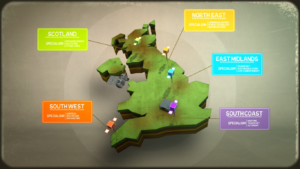
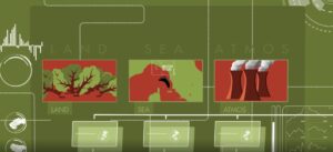
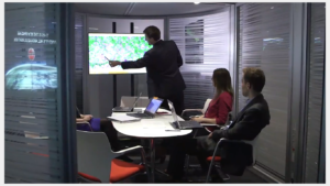
Regional Engagement Video
Overall Winner of Copernicus Masters 2018 Announced
Earth observation (EO) satellites produce tremendous amounts of data every day. The free and open EO data offered by the Copernicus programme is creating great...

ESNC Finalist: actiGo
This piece was written by the actiGo team, one of the finalists for the European Satellite Navigation Competition (ESNC) UK Challenge. In today’s fast-paced society,...
In-Orbit Demonstration Programme Opens Call for Mission 3 Proposals
Today, the In-Orbit Demonstration Programme, a globally unique small satellite testbed programme that aims to support NewSpace businesses, opens a new call for proposals for...
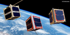
UK Small Satellites: High Flying
This piece was written by Ewan Wright during his internship in our Access to Space team. It is well known that the UK punches above...

Satellite Applications Catapult announces finalists of European Satellite Navigation Competition
The European Satellite Navigation Competition (ESNC) is an annual international innovation competition that recognises the best ideas in the field of downstream applications based on...
Astroscale Named Forbes JAPAN Japan’s Start-up of the Year 2019
Astroscale Pte. Ltd (“Astroscale”), the market-leader in developing a space debris removal service to secure long-term spaceflight safety, was named Japan’s Startup of the Year...
Satellite Applications Transforming COPD Prevention and Care
Today is World COPD Day! This piece, written by our Health and Wellbeing expert, Adrian Smith, discusses the disease and how satellite applications are changing...