Route to Market Reports: Environmental Monitoring Services
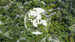
This report aims to describe the potential scope for the introduction of space-based technologies into three environmental services: Flood Risk Management, Habitat Assessment, and Rural...
The overall aim of this paper is to consider potential opportunities for satellite services related to energy infrastructure management and operation that arise from integrating...
This briefing addresses the ‘Disaster Resilience’ sector, defined by those systems required by local, regional, national and international communities to prepare for, protect from, respond...
This report will include Earth Observation and Global Navigation Satellite System (e.g. GPS) applied to Global Carbon modelling and monitoring. Carbon is here taken to...
This report covers the global Satellite Broadband to Vehicles sector, with an emphasis on the UK and European markets. The general technologies covered include the...
This market report focuses on satellite broadband to trains. The report looks at the existing and developing market for broadband services to passengers, staff and...
The Satellite Applications Catapult is now inviting applications for the development of a dedicated satellite mission to trial technologies that will deliver a new commercial...
This report covers the global shipping industry which includes vessels such as commercial ships, large fishing vessels, passenger, leisure marine, and larger privately owned or...
3 October 2017 – The Satellite Applications Catapult is taking part in the third edition of London Space Week (LSW), which takes place on 4-5...
This market report assesses the use of broadband within aircraft, focusing specifically on applications which make use of digital connections. Click here to download >>
The Public Regulated Service (PRS) is a specific service provided by Europe’s GNSS, Galileo. Access to the PRS is granted by a Competent Authority in...
OceanMind Fisheries Analyst, Natalie Tellwright, explains how she and her colleagues have used use geospatial technology to help marine authorities investigate an illegal catch of over...